
Home > Management
Waipara River Management Strategy (WRMS)
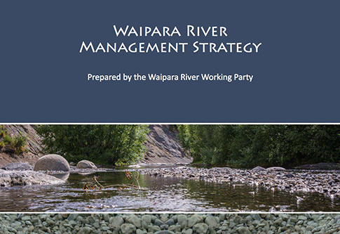
The 52-page Waipara River Management Strategy (PDF) provides a framework for managing the Waipara River now and into the future. The Strategy is based on the work of the community as represented by the Waipara River Working Party. The strategy itself is a non-statutory document and is therefore flexible to address a wide range of functions.
The WRMS is a partnership between Hurunui District Council (HDC), Canterbury Regional Council (CRC), Department of Conservation (DOC), Tangata Whenua, riparian landowners and the communities within the strategy area. All partners have a responsibility for different levels of investment, management and action along the river.
The implementation of the WRMS will rely not only on HDC and CRC initiatives but also on a strong sense of ownership and commitment from the community based on the philosophy of this document. As such, the WRMS depends on the goodwill, co-operation, participation, and commitment from those identified as responsible for carrying out the actions.
Management Areas - see also AMF Rights
There are five broad management areas along the main stem of the Waipara River from Karetu Bridge to the river mouth.
Information and Maps:
- Karetu Bridge to White Gorge | Action Map
- White Gorge to Stringers Bridge | Action Map
- Stringers Bridge to Barnetts Road | Action Map
- State Highway 1 Bridge | Action Map
- Wash Creek to Webbs Road | Action Map
- Waipara River mouth | Action Map
Each of these area has access points where information signs outline what is permitted and what restrictions apply.
Permitted and Restricted activies - also see AMF Rights
- Laidmore Road
- Stringers Bridge - upstream
- Stringers Bridge - downstream
- Barnetts Road
- Darnley Road
- State Highway 1 (SH1) Bridge
- Teviotdale
- Webbs Road
- Waipara River mouth
Interpretative signs:
